The buoys/markers have been removed for the 2020 season. The following includes information on the GPS coordinates for location taken during the removal. Note, this is for informational purposes and reference only for residents and visitors of Caribou Lake. Safe and observant boating practices are the responsibility of the watercraft operator.
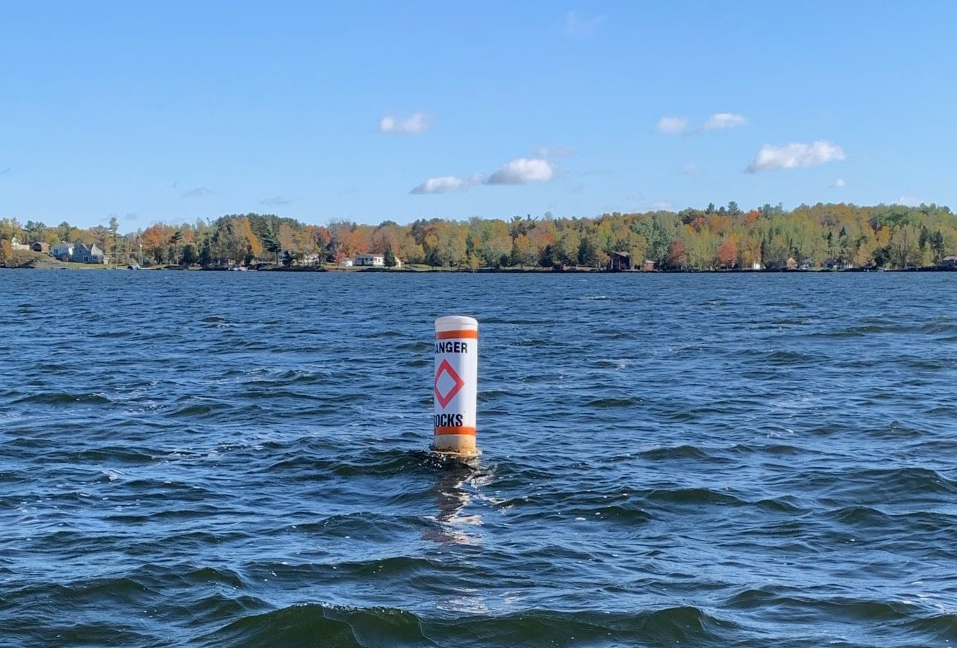
Buoy Marker 1 of 4 (Rocks):
Latitude: 46.896442 (N 46°53’47.19240″)
Longitude: -92.299953 (W 92°17’59.82999″)
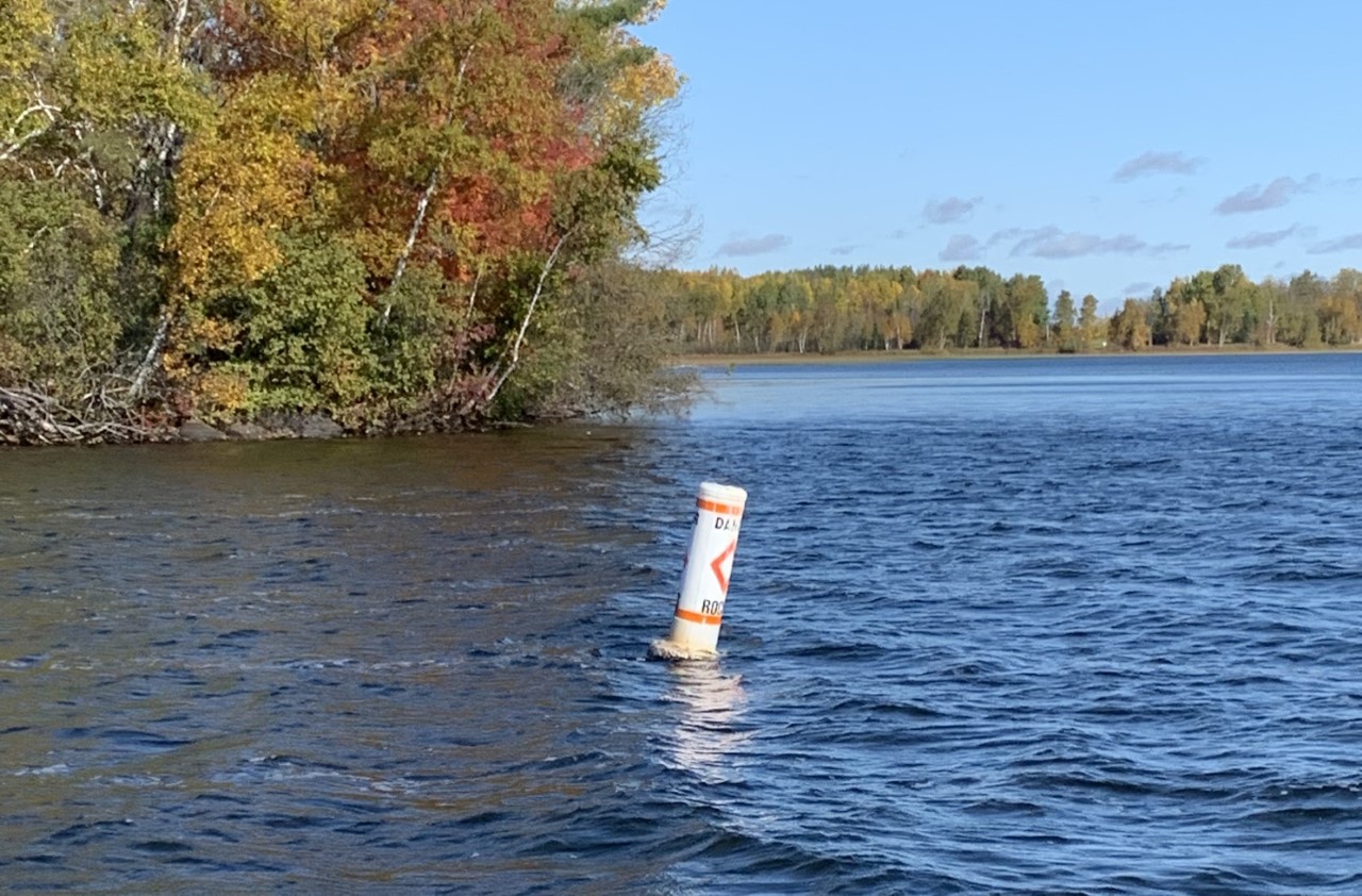
Buoy Marker 2 of 4 (Rocks):
Latitude: 46.899580 (N 46°53’58.48652″)
Longitude: -92.308867 (W 92°18’31.92197″)
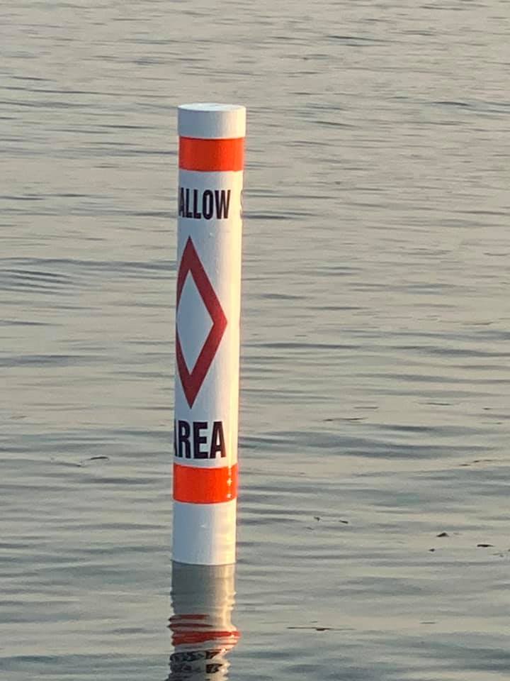
Buoy Marker 3 of 4 (Shallow Area):
Latitude/Longitude: Coming Soon
A new marker buoy was added the summer of 2021 to the North Shady Bay area towards the Correction Center’s Work-farm area where the water levels drop significantly. The summer was especially low and at placement the marker buoy was at 14 inches of water depth.
Buoy Markers 4 of 4 (Swimming Area):
Latitude/Longitude: Coming Soon
Marker buoys also designate the Caribou Lake Public Beach swimming area. 
Although every effort has been made to provide complete and accurate information, Caribou Lake Association makes no warranties, express or implied, or representations as to the accuracy of content on this website. Caribou Lake Association assumes no liability or responsibility for any error or omissions in the information contained in the website or the operation of the website.